Flypix
AI enabled geospatial solutions
Featured
88 Votes

Description
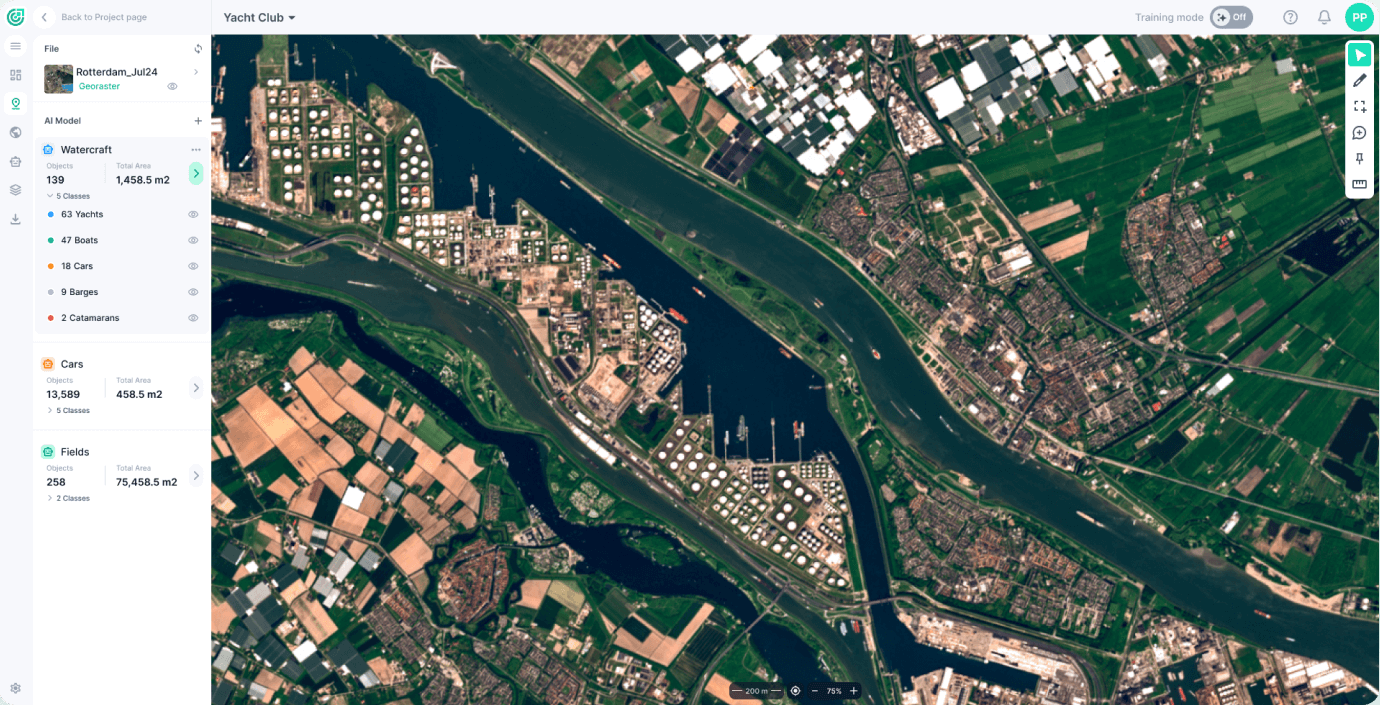
Create AI use cases with Aerial and Satellite Imagery: detect objects and segment land on earth observation data. NO knowledge about AI or Machine Learning is required.

Create AI use cases with Aerial and Satellite Imagery: detect objects and segment land on earth observation data. NO knowledge about AI or Machine Learning is required.